
Airbus Ground Control Points
Get the highest level of precision for your data
GCPs - Highly accurate 3D coordinates
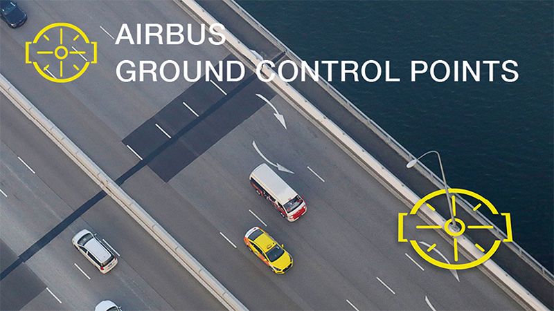
Ground Control Points are essential for accurate ortho-rectification of aerial, optical satellite imagery and drone data, for precise localisation of ground features and landmark detection.
What is Ground Control Points?
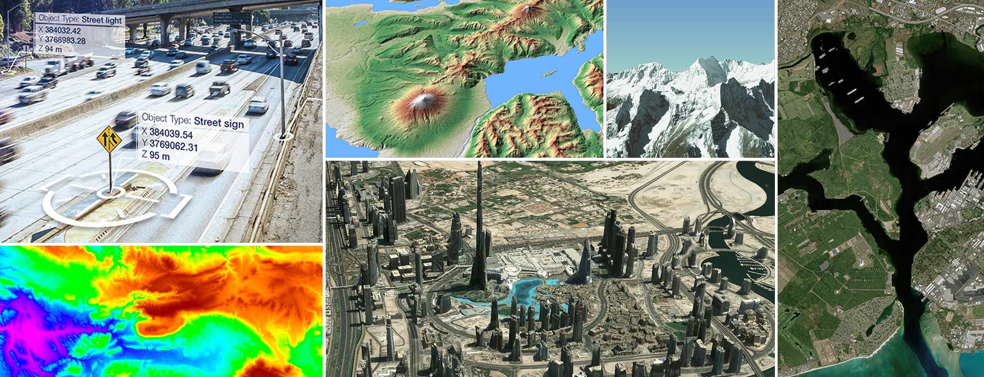
Ground Control Points represent a specific geolocation of an object on the Earth’s surface, with geolocation accuracies up to 10 cm in horizontal (2D) and vertical (3D) directions. These measured objects are mainly infrastructure features such as lightning poles, traffic signs, fences and other notable elements e.g. on buildings. The corresponding 3D coordinates are automatically calculated based on spaceborne radar imagery. The points can be used to link with corresponding elements in optical imagery or with mobile mapping data to improve or validate geo location accuracy of these data sets.
Drive off with Airbus Ground Control Points
1:40
Find the right applications for your market
Mapping
Precise orthorectification of input data, supporting map scales of 1:2,500 to 1:10,000. Click here to find out more.
Defence
Support mission planning. Click here to fidn out more.
Oil, gas and mining
Localisation of potential exploration sites and pipeline corridors. Click here to find out more.
Civil engineering
Infrastructure planning. Click here to find out more.
Aeronautics
Build and refresh airport runway database.
Automobile industry
Co-registration and validation of HD maps and mobile mapping data to support autonomous driving.


Key features
- Precise orthorectification of optical imagery, elevation models and maps
- Increasing accuracy of optical imagery and mapping data
- Supporting sensor data fusion
- Coverage of large areas (1000 km²) per product
- Homogenise geo-information layers
- Complementing in-situ measurements
Did you know?
Our unrivalled expertise for over three decades in satellite imagery acquisition, data processing, intelligence extraction, fusion and dissemination allied to significant command and control capabilities enables us to create a comprehensive situational awareness picture and deliver sophisticated end-to-end solutions.
Your advantages with Ground Control Points
What our customers say
We are amazed with the accuracy of the Airbus GCPs and that we can harmonise them so well with other data sources. Without the GCPs, we would not be able to complete this huge project in the allotted time frame.
Managing Director, PT. NARCON

Want to speak with sales?
Our sales team will be happy to provide you more information about this product and how it can meet your business needs.