

Shaping the future of agriculture from space to field
Want to know more?

Field delineation
- Maintain up-to-date field database
- Track boundary modifications overtime and verify declarations
- Support agricultural policies and control subsidies attribution
- Reduce manual digitization

Hedges detection
- Identification of linear vegetation structures in complex landscapes
- Support to biodiversity, carbon, and soil protection initiatives
- Environmental compliance, ecological assessments, and rural landscape management

Crop analytics
- Assess crop development and early detection of anomalies
- Monitor farming practices (sowing, harvesting, bare soils periods)
- Support advisory services to farmers
- Ingestion into crop models and yield modeling

Crop type identification
- Improve crop acreage and production estimates
- Locate staple crops to ensure food security and control subsidies
- Facilitate logistics (storage, import export decisions, harvest planning)
Study crop diversification overtime
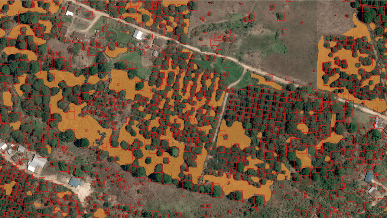
Three characterisation
- Assess tree counting and evolution in complex systems
- Support reforestation and Nature Based Solutions monitoring
- Detailed analysis of agroforestry and landscape structure at scale
- Support carbon metrics calculation

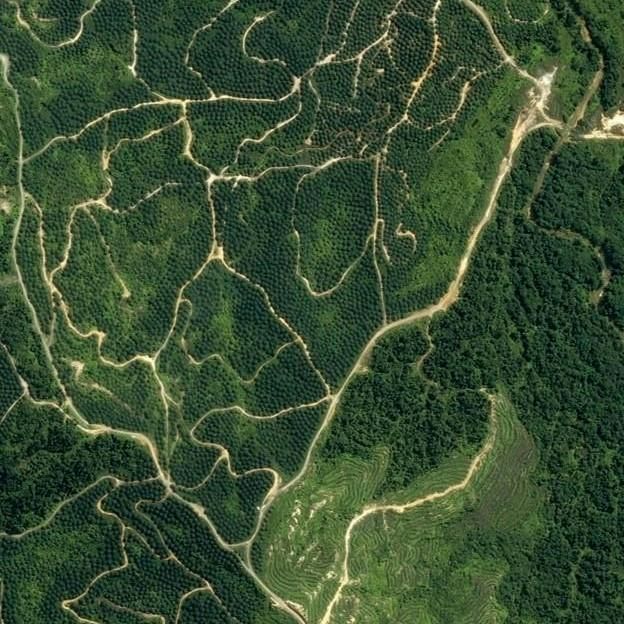
Biomass assessment
- Enable MRV for carbon farming at country level
- Support carbon credits schemes with biomass-based indicators
- Assess feedstock availability for bioenergy supply chains
- Guide policies and farming practices


What our customers say
Airbus satellite imagery has been successfully supporting the work of FAO since the launch of SPOT 1 in the late 1980’s. It has helped to define a national agricultural policy, managing food security, dealing with illegal agriculture, optimising irrigation and pest prevention, depending on each local specific need.
Technical Coordinator of Geospatial Unit, Climate, Biodiversity, Land & Water Department - UNFAO

The TARBIL project requires high-resolution imagery for each of the selected agricultural crop types at every phrenological stage. This is crucial for monitoring crop status and estimating the yield. Thanks to the high spatial and temporal resolution of the Airbus Constellation, we can readily provide the TARBIL project with the essential country-wide satellite imagery it requries.
Director
