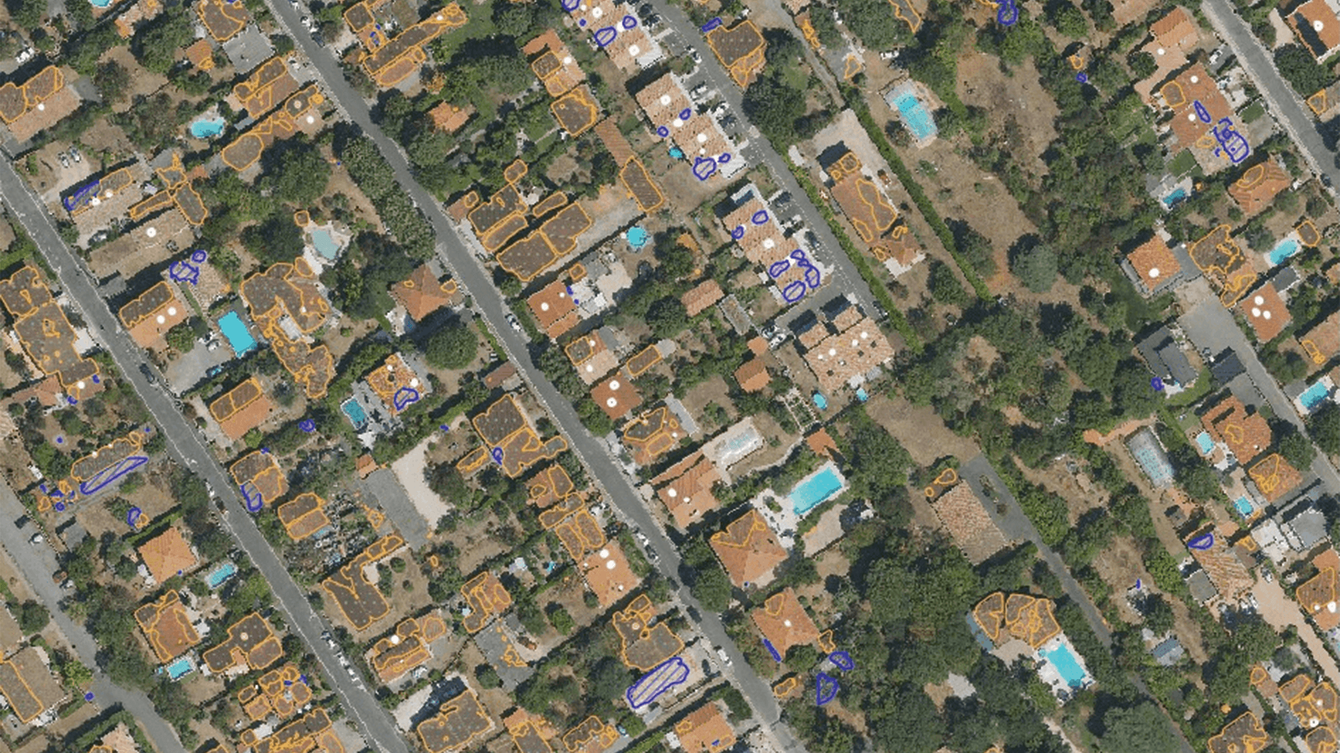

Stantec utilises Airbus Pléiades Neo HD15 to detect hazardous pipeline right-of-way encroachments

Challenge
Traditional monitoring focus on detecting leaks and vegetation overgrowth, but the client needed a solution to identify unauthorised activities - like construction or excavation - that presented serious safety risks. Given the complexity and potential hazards involved, including the need to monitor thousands of kilometers with fine detail, Stantec required a high-resolution, scalable imaging solution capable of identifying both existing and emerging threats.

The yellow circle in this Pléiades Neo HD15 image draws attention to construction equipment. The black dotted line encompasses an area showing the equipment's track marks. Red lines are used to denote the route of the underground pipeline.
Solution and benefits
Stantec’s solution involved integrating Airbus’ Pléiades Neo HD15 high-resolution satellite imagery into its PipeWATCH service to monitor pipeline right-of-way encroachments with enhanced detail and accuracy. Using imagery delivered via the SkyWatch platform, Stantec implemented automated change detection to identify unauthorised activities, such as construction or farming, within the pipeline corridor and its buffer zones. The results were highly effective: numerous encroachments were detected, including a serious incident involving earthmoving equipment, which was addressed immediately to prevent potential disaster.
This success led to the expansion of encroachment monitoring as a permanent feature of PipeWATCH.
Organisation involved
Stantec empowers clients, people and communities to rise to the worldʼs greatest challenges at a time when the world faces unprecedented concerns.
Stantec is a global leader in sustainable engineering, architecture and environmental consulting. It delivers the expertise, technology and innovation communities need to manage aging infrastructure, demographic and population changes, the energy transition, and more.

SkyWatch is on a mission to make remote sensing data more accessible and usable for businesses, researchers and developers. The SkyWatch platform simplifies how organisations discover, acquire and use this valuable data through an ecosystem of applications built for different user needs.
By providing seamless, scalable and cost-effective access to satellite imagery, SkyWatch is enabling businesses and professionals to harness the power of space-based intelligence.